


The ERATOSTHENES Centre of Excellence has announced the successful completion of the “3D-TWINMAP: Mobile Three-Dimensional Mapping for the Development of Digital Twins” project, marking a significant step forward in the development of advanced geospatial technologies in Cyprus.
The project’s infrastructure and results were presented on 30 March 2026 during a final conference held at the Innovation and Blue Economy Centre in Limassol, attended by more than 50 participants from academia, the public sector, industry and the wider public.
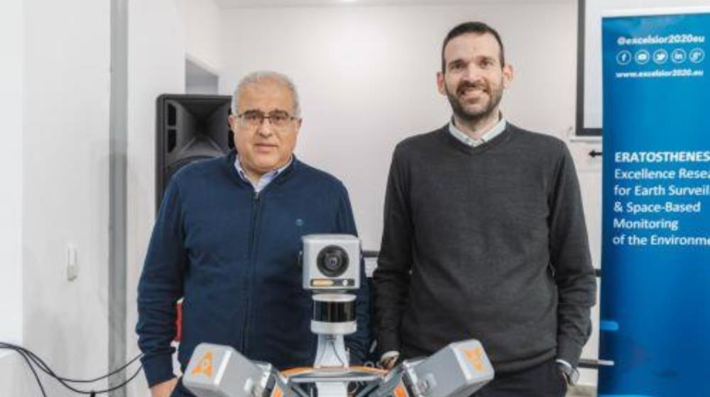
Launched in October 2025 and completed on 31 March 2026, the project focused on the development of advanced mobile 3D mapping infrastructure. This included the acquisition and operational deployment of a high-precision, AI-enabled system capable of rapidly collecting dense 3D geospatial data across large-scale urban environments.
Implementation activities covered the procurement and installation of specialised equipment, training of technical personnel and technical validation through an Operational Readiness Inspection. An Open Access Policy was also designed and introduced, allowing external users to benefit from the new infrastructure.
According to the ERATOSTHENES Centre of Excellence, the project’s outcomes include the creation of a fully operational 3D mapping unit, strengthened technical capacity and the development of use cases demonstrating the system’s capabilities.
With a total budget of more than €480,000, the project was funded by the European Union’s Recovery and Resilience Mechanism (NextGenerationEU) through the Research and Innovation Foundation, and coordinated by Marios Tzouvaras, Research Coordinator at the Centre.
The broader impact is expected to support research excellence, improve digital public services and accelerate the adoption of Digital Twin technologies in Cyprus, in line with national and European priorities for the digital and green transition.